
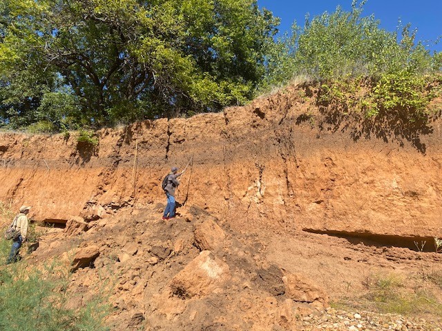
Cut-an-fill sequence along the north bank of the creek dating between 2170 rcybp and 4670 rcybp.

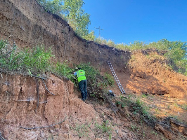
A 10,440 +/- 30 rcybp paleosol at the junction of Wildhorse Creek and the Washita River in Garvin County, Oklahoma.
Fishing at Shamrock location along Wildhorse Creek south bank. Lower paleosol (bottom 10 cm) dated 4030 rcybp and 1720 rcybp (upper 10 cm) and 1000 rcybp for the thin paleosol in the upper 100 cmbs of the profile.
Mid-section of the creek. The lower thick paleosol yielded a radiocarbon date between 2160 rcybp (lower 10 cm) to 1350 rcybp (upper 10 cm). A thin paleosol in the upper 100 cmbs dated to 940 rcybp.
The entirety of the Wildhorse Creek research results will be in Lewis Dolmas’ MA thesis entitled: Geoarchaeological Investigations to Contextualize the Paleoindigenous and Early Archaic Occupations of Wildhorse Creek, North of the Arbuckle Mountains, Garvin, Carter, and Stephens Counties.
Summary: Wildhorse Creek valley contains a record of alluviation punctuated by landscape stability and soil formation, followed by significant erosion during the early Holocene. The middle Holocene record in the valley is characterized by aggradation, interrupted by stability and soil formation sometime after 5000 rcybp. The greatest net sediment storage is during the late Holocene represented by episodes of landscape stability and soil development.